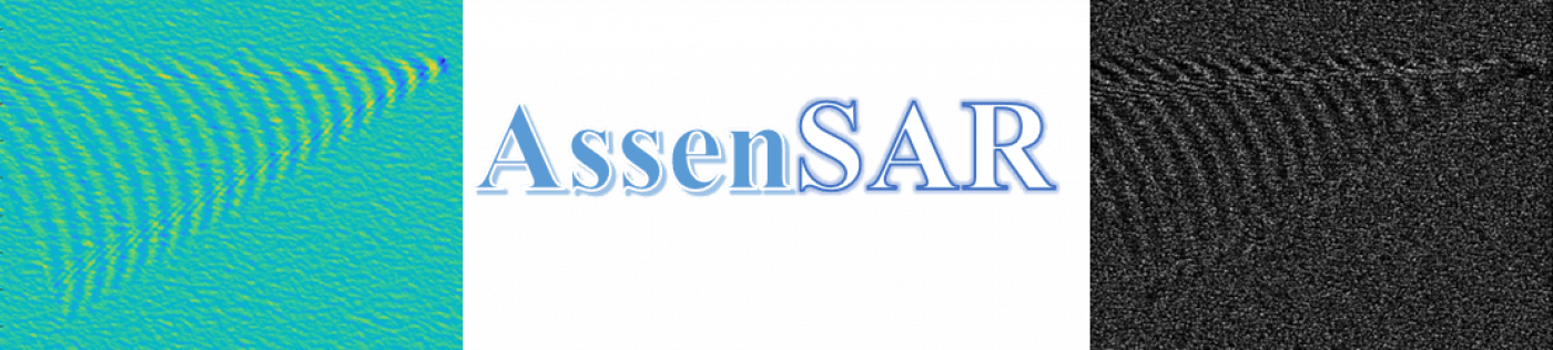
Currently, our team have been conducting research under an EPSRC project entitled Assessment of Sea Surface Signatures for Naval Platforms using SAR Imagery. Publications, People and other details regarding the AssenSAR project can be found on the AssenSAR web page.
In general, our works in the Remote Sensing Image Computing sub-group are combined under various categories:
(1) Prediction of Harmful Algal Blooms
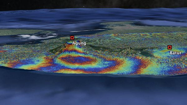
(2) Deep learning methods for prediction of Volcano deformations
(3) Detecting ground deformations in the built environment
(4) Inverse Problems in SAR Imagery
(5) Modelling and Simulation of the Sea Surface
(6) SAR image autofocusing
(7) River Planform Extraction in SAR
(8) Urban scene characterization for wireless network planning
(9) Defect Detection – Palantir